
The LA Freeway was first envisioned by Carl Pfiffner back in the 1950s. He had the idea of traversing from Longs Peak (14,259ft) to the Arapahos (13,501ft) along the Continental Divide, linking the tallest point in Rocky Mountain National Park to the tallest point in the Indian Peaks. In 2002, Buzz Burrell became the first person complete Carl Pfiffner's original idea of linking Longs Peak to the Arapahos in a massive 2 day effort. After completion, Buzz dubbed the route the "LA Freeway" and laid down the foundation for this iconic line. Sticking strictly to the Divide and tagging every peak along the way (listed at the bottom), Buzz was able to fulfill Pfiffners original vision. It's also worth noting that Gerry Roach helped push the creative bounds of this route by extending the traverse from Milner to Berthoud Pass, this is known as the Pfiffner Traverse. The LA Freeway has been something I've wanted to try and tackle ever since I moved to Boulder and saw the line for the first time. Driving down Highway 36 into Boulder, the LAF dominates the skyline. It is such a logical and aesthetic line that really inspires me. It wasn't until this summer that I felt like I was really ready to give it a shot. Below is a recap of my day along the LA Freeway.


"The route is so pure and so obvious: from anywhere in east Boulder County, look up at the skyline – that’s the route! What more is there to say?" - Buzz Burrell

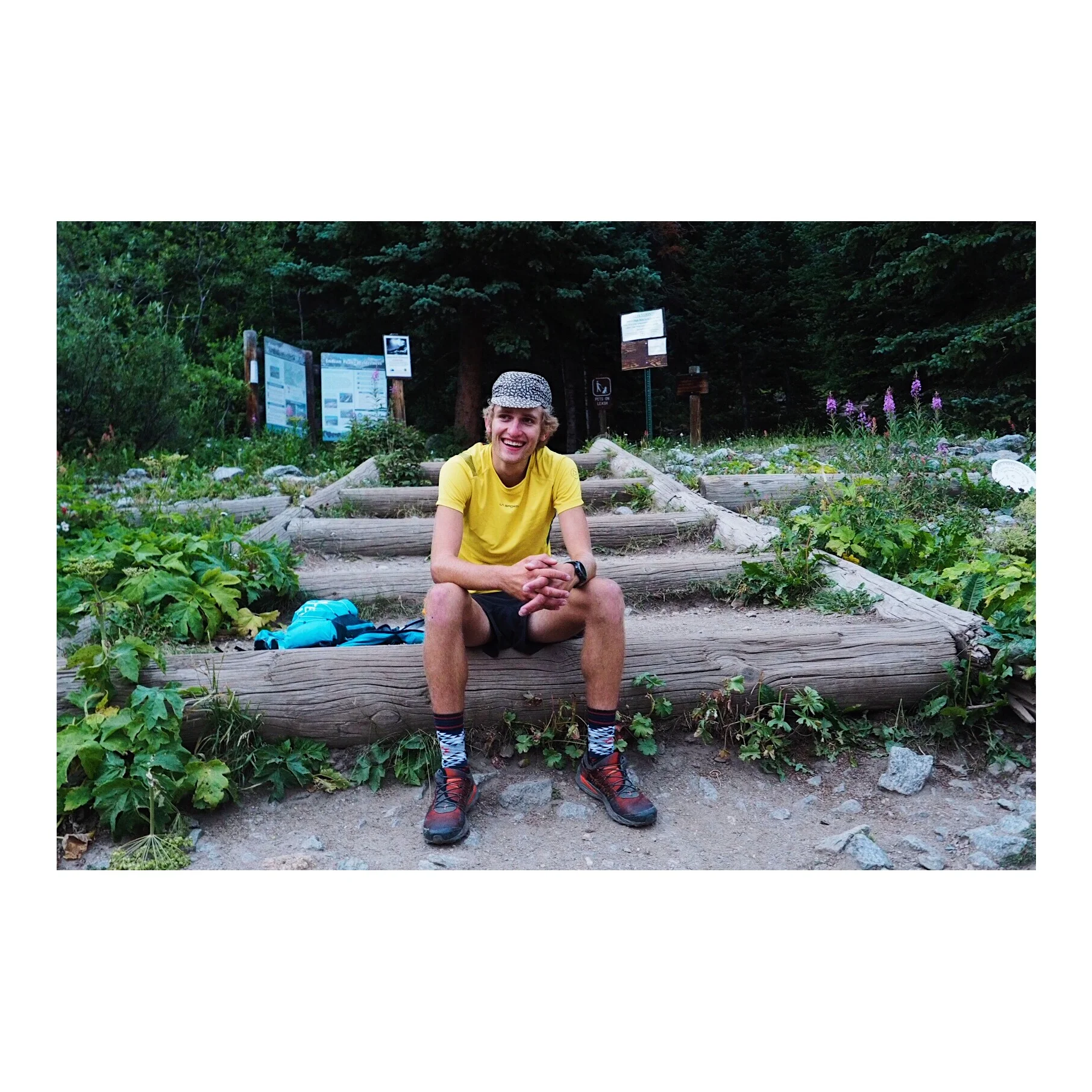
My alarm went off at 2:20am and I was immediately wide awake. The morning started like every other day this summer, I made coffee and eggs on toast, read a couple pages of my book, and got dressed for the day. On the drive up to the Longs Peak Trailhead, I felt a sense of excitement and was looking forward to spending an entire day in the mountains I call home. The weather in Colorado is so touch n go this time of the year, I'd been waiting for almost two weeks for the right weather window. I was starting to think I'd missed my chance, but when I saw Wednesday as a potential opportunity, I committed. I arrived at the Longs Peak Trailhead at 3:45am and quickly geared up, started my SPOT tracker, and began up the trail at 3:52am. My trip along the LA Freeway had begun.
Every other time I started up the Longs Peak trail this season, I was running. I'd run from the start and charge my way up the hill. On this occasion, I walked. I went as slow as I could. I meandered my way up through the trees, taking all the shortcuts up to Jims Grove. I reminded myself to take it easy and go slow, I had a long day ahead of me. I began with one flask of water and two empty flasks (one of them being a Katadyn Filter Flask) in my Ultimate Direction 4.0 series Mountain Vest. I filled all 3 flasks up at Jims Grove below the slopes of Mount Lady Washington. I continued to walk and nailed my line to the base of the Cables route on the North Face of Longs. I was surprised and thrilled to find dry rock. Normally the Cables is a waterfall or iced up, but today it was perfect. I soon found myself on the summit of Longs Peak, it was calm and very quiet. I touched the summit and headed down the homestretch, where I bumped into Eli Zabielski doing a pre-work lap up the Keyhole Route. Eli would be the last person I'd bump into before seeing Joe Grant in-between South and North Arapaho, 15 hours later.
I'd done the section from Longs to Chiefshead a couple weeks ago during a tour around the Glacier Gorge. I was feeling confident and nailed the tiny bit of 5th class scrambling to get down to the Longs-Pagoda Col and was soon up on Pagoda looking back at the impressive West Face of Longs Peak (pictured above). I barely stopped and wanted to stick to the theme of continuing to move, slow and steady throughout the entire day. I took the West Ridge down Pagoda before cutting south down some slabs into a bowl, which deposits you on the upper rocky ledge. From there, I worked my way down to the lower grassy ledge and was then eventually cutting back North towards the summit of Chiefshead. On the hike up to CH, I fell in the talus and landed on my side. As I fell, my left pointer finger got caught in the talus and was seriously jammed. Ouch! My finger immediately began to swell, my first reaction was that it was broken. I was wearing fingerless gloves and my finger had swelled so large that it actually made it difficult to remove my gloves! I quickly tried to ignore the pain and keep moving. It was too early in the day for something like this to happen. I tagged Chiefshead and transitioned into the next sector of the Freeway.
The terrain from Alice to Buchanan Pass is rarely traveled and such a gem. I was looking forward to seeing new terrain and hopefully be able to do some running, as this section is mostly tundra. The hike up Alice was a monster, the Hourglass ridge seemed to go on forever! My legs were feeling good at this point and I was trucking away. I was moving fast on the descents and felt steady on the ascents. After tagging Alice and running down over Tanima, I found myself at the Cleaver. What a location! The views looking West from the Cleaver are absolutely mind blowing. Next up was Isolation and its notorious notch, which I was able to negotiate by taking a grassy ledge on the west side before cutting up a 3rd class gully. The true summit of Isolation was also a gem, you really feel like you're out there. Ouzel passed quickly and then I found myself on top of Ogalalla 6 and a half hours into the day. The most memorable part of this peak was looking west towards the Elks Tooth, what an incredible feature. Clouds were starting to move in and I was a bit nervous about electrical activity. At one point, I found myself looking East and then turned around to the West and saw a wall of snow coming towards me. I was soon caught in a mini blizzard, no joke! The storm seemed so localized, I couldn't believe that it was actually snowing. I quickly put on my jacket and was running towards "Ooh La La".
The snow quickly passed as well as the summit of "Ooh La La". I was getting seriously thirsty at this point and had drank all my water. The sun had popped and I'd just hit the most runable section of the divide. Pretty much pancake flat tundra. It felt good to jog, but I was worried about working too hard and getting dehydrated. I still reminded myself to take it easy. Point 1227 and Red Deer Peak where a bit more work than I had expected, proper little bumps along the divide. A few days prior to setting off on the LAF, I'd hiked up 3L of water and some food in a dry bag to Buchanan and Pawnee Pass. I wanted to do the outing self-supported and this system allowed me to move relatively light and not have to rely on others for aid. I would carry out all my trash and leave nothing behind, it was the perfect plan. My fuel cache at Buchanan Pass had been on my mind since "Ooh La La" and I was really looking forward to some water.
I immediately chugged 2 liters of water before filing all three of my flasks as soon as I arrived to my cache at Buchanan Pass. I used regular tailwind in one flask, a protein recovery mix in another, and then straight water in the last flask. I felt like a champ heading up Sawtooth after fueling up, which looks unimpressive from the south. On the trek over to Algonquin, one can look back South from the North and understand why the peak is named what it is.
The view North from Algonquin is intimidating and fierce. The North Ridge Paiute is complex and gnarly. I think this section of the Divide is one of the two hardest sections of the traverse in terms of route finding and complexity. (the second being Arikaree to N. Arapaho). I had scouted this section last year, but my pace was dropping and I was starting to make minor route-finding errors. The process of navigating complex ridges is tedious and mentally taxing. I soon found my sidewalk sneak on the East side into the Paiute Notch and avoided the steep headwall via a class 3 snaking ramp to the summit.

Looking South from the summit of Paiute. Photo credit - Kody Kohlman
I had reached the summit of Paiute 10 hours into the day and was feeling wrecked. I was mentally in a pretty rough spot and the stretch over to Mt. Toll was difficult for me, I was feeling dehydrated and nauseous. I did my best to keep moving but then hit an absolute wall on the North Ridge of Mt. Toll, all momentum was lost. I've done the N. Ride of Toll half a dozen time, but today it felt like I'd never done it before. The scrambling felt fine, but I couldn't remember my route. I spent 10 minuets on the big halfway ledge trying to figure out where to go, I was actually lost and confused. I eventually got on track and pulled myself to the summit and sat down. This is the first time throughout the whole day where the idea of bailing crossed my mind, I was unsure if I was capable of finishing the traverse. I shut those thoughts out immediately and got up and forced myself to run down to the grassy tundra below Pawnee Peak. I needed to get to my gear cache at Pawnee Pass and fuel up again.
Pawnee Peak actually went by relatively quick and I was at my gear cache 30 minuets after hitting rock bottom on the top of Mt. Toll. Like at Buchanan Pass, I chugged 2 Liters of water and filled my flasks. I forced myself to down a couple gels and half a sandwich I had packed. I did this all as quickly as possible and began to pick my way over to Shoshoni. I slowly began to feel better and regain some pep. It was an incredible feeling to bounce back after such a rough patch, I was feeling great and was on top of Shoshoni's small summit in no time. The fact that I had done this stretch of the divide to the Arapahos gave me a huge confidence boost, I knew exactly where to go and was feeling revitilized.
It began to rain while on the traverse over to Apache Peak. The wind picked up and was ripping between all the towers along the Kasparov Traverse. I didn't let this affect me and was extremely focused. I made good work of the traverse and was on Apaches awesome summit and on my towards Navajo as the rain picked up. Navajo's final handcrack is one of my favorite pitches on the divide, but with the wind and spitting rain, it felt extra airy today. The descent off Navajo is the worst descent on the LA Freeway. Your shoes practically swim in the talus on the descent, it is impossible to avoid rocks not getting in your shoes. I tired to move fast on the descent and launched up Arikaree's aesthetic North ridge, which turns out to be a super awesome 4th class sidewalk in the sky. I was still feeling great and kept moving to the sight of a 1940s plane crash along one of the towers leading towards Deshawa Peak.
The clouds had cleared at this point but the wind had remained. Smoke from nearby wildfires started to roll over the divide creating an even more difficult breathing environment. I tried not to think about this and kept moving. After summiting a mandatory tower via a fun handcrack, I was on top of Deshawa and heading up the last climb of the day. I felt good but my legs were tired and I was moving extremely slow. I was at the point where I could no longer move continuously up the climb, I had entered the realm of taking a couple steps and having catch my breath for 30 seconds. The final climb lasted forever. I was literally crawling my way up the grassy ledges to North Arapahos summit. I reached the summit 15 hours and 21 minuets into the day and didn't stop. I knew I had to keep moving if I wanted to sneak under Matthias Messner's FKT of 16hrs and 59mins.
As I picked my way over to South Arapaho, I could hear my buddy Joe across the way. His stoke gave me new energy, it also felt good to see someone after 16 hours of being by myself. I didn't hesitate on South Arapaho and was cutting cross country down the grassy slopes, the Fourth of July Trailhead in my sights. My legs hurt and the steep terrain was extremely difficult to run. My lungs and throat were burning from all the smoke, but the end was in sight. I could literally see Joe's car in the parking lot. I could see the trail and this gave me a huge mental boost. I knew I could do it despite hurting so bad. Moments later I was done, I had completed the LA Freeway and set a new FKT.

16 hours 28 minuets 58 seconds. 33 miles and 18,000+ feet of vertical gain later. Feeling extremely content and grateful. Getting out into the mountains and having an experience, that is what it's all about! Feeling your place out in the landscape and testing yourself against the terrain. Joe Grant capturing the stoke at the end.
Splits: Started at the Longs Peak Trailhead @ 3:52am
Longs Peak: 2hrs 4m
Pagoda: 2hrs 34m
Chiefshead: 3hrs 20m
Alice: 4hrs 7m
Tanima: 4hrs 34m
Isolation: 5hrs 32m
Ouzel: 6hrs 2m
Ogalalla: 6hrs 28m
"Ooh La La": 6hrs 50m
Point 1227: 7hrs 28m
Red Deer: 7hrs 45m
Sawtooth: 8hrs 16m
Algonquin: 8hrs 48m
Paiute: 10hrs
Toll: 10hrs 44m
Pawnee: 11hrs 5m
Shoshoni: 11hrs 42m
Apache: 12hrs 40m
Navajo: 13hrs 2m
Arikaree: 13hrs 38m
Deshawa: 14hrs 32m
N. Arapaho: 15hrs 21
S. Arapaho: 15hrs 44m
4th of July TH: 16hrs 28m 53sec
Gear: Ultimate Direction 4.0 signature series Mountain Vest, La Sportiva Mutant, La Sportiva Auster Short, LS Blitz T-Shirt